Using our georeferenced maps

In this interactive workshop, we will show you tips and techniques to help you make best use of our georeferenced maps.
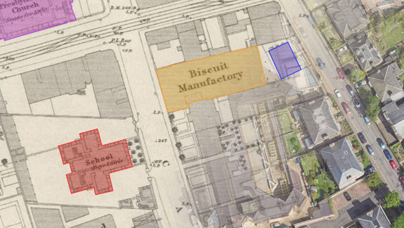
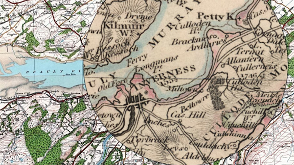
Georeferenced maps are those which have been aligned with the real-world, so they can be viewed as overlays on top of modern satellite imagery and mapping, or even in comparison to your own live location!
We now have over 600 georeferenced layers of mapping freely available on our website, along with tools to filter, measure, draw, compare and export them. Discover how to use these tools, as well as how you can easily bring these georeferenced maps into other web and desktop applications.
The workshop will last approximately one hour with a question-and-answer session after that. This workshop will not be recorded but it is repeated regularly.
If you enjoy georeferenced maps but are not sure you are making full use of them, this workshop is for you!


